
National parks near Peralejos de Abajo, Castille and León
Peralejos de Abajo sits inside the Vitigudino area and reaches the same parks. See national parks near Vitigudino for the full write-up.
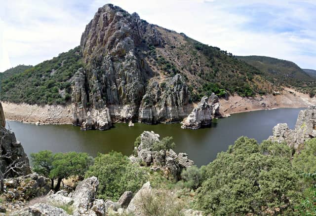
Monfragüe National Park is the closest national park to Peralejos de Abajo, Castille and León — 132 km (82.3 mi) in a straight line, which works out to roughly 2 hr 24 min behind the wheel.
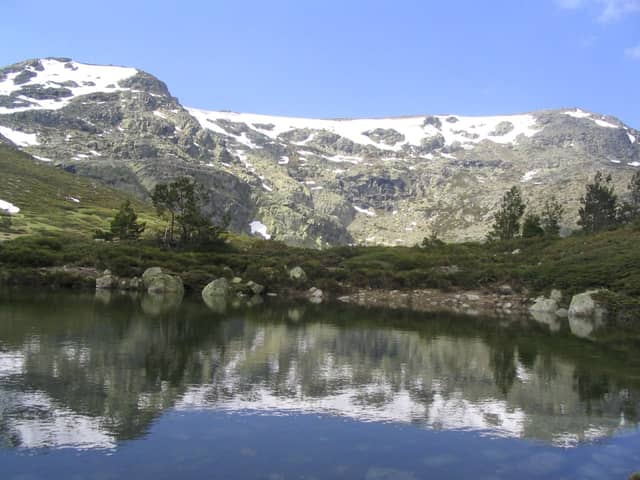
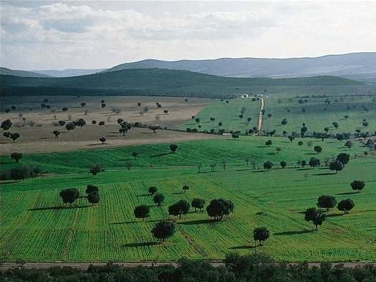
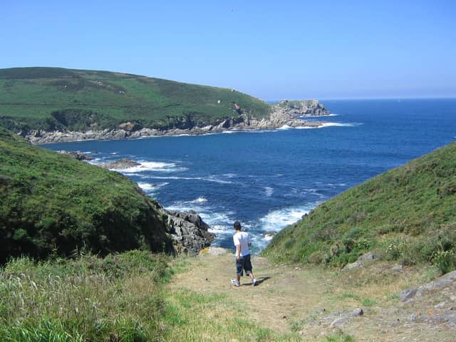
Monfragüe makes a full day trip — leave early. Sierra de Guadarrama, Cabañeros, Islas Atlánticas de Galicia, Picos de Europa, and Tablas de Daimiel are better with a night booked nearby.
Peralejos de Abajo has a population of about 186.
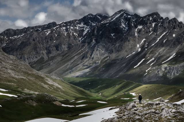
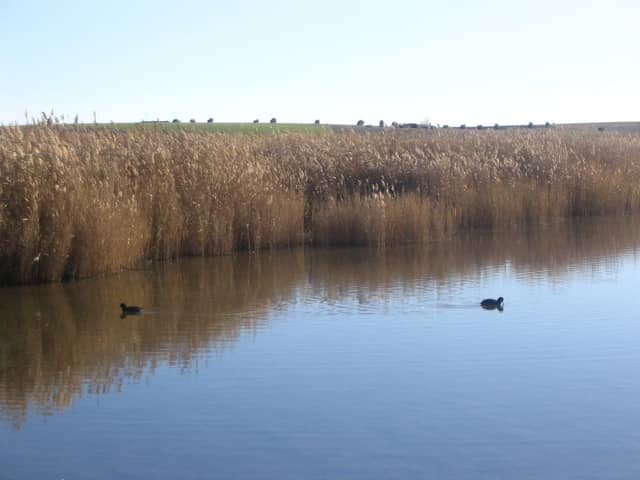
National parks near Peralejos de Abajo
| Park | Straight-line distance | Estimated drive | Realistic trip |
|---|---|---|---|
| Monfragüe National Park | 132 km (82.3 mi) | 2 hr 24 min | Doable as a day trip |
| Sierra de Guadarrama National Park | 201 km (125 mi) | 3 hr 25 min | Best as a weekend |
| Cabañeros National Park | 239 km (149 mi) | 3 hr 58 min | Best as a weekend |
| Islas Atlánticas de Galicia National Park | 263 km (163 mi) | 4 hr 19 min | Best as a weekend |
| Picos de Europa National Park | 274 km (170 mi) | 4 hr 29 min | Best as a weekend |
| Tablas de Daimiel National Park | 308 km (192 mi) | 4 hr 59 min | Best as a weekend |
| Doñana National Park | 445 km (277 mi) | 7 hr | Worth a longer road trip |
| Sierra de las Nieves National Park | 495 km (307 mi) | 7 hr 44 min | Worth a longer road trip |
| Sierra Nevada National Park | 501 km (311 mi) | 7 hr 49 min | Worth a longer road trip |
| Ordesa y Monte Perdido National Park | 563 km (350 mi) | 8 hr 44 min | Worth a longer road trip |
When to make this trip
Monfragüe National Park is generally best May, June, September, and early October, with April and late October as the quieter shoulder either side.
Winter is cool and wet at low elevation and snowy in the mountains, with reduced hut and refuge service.
July and August combine peak heat with peak domestic holidays. Shoulder months are both cooler and quieter.
Seeing more than one
Several parks near Peralejos de Abajo are close enough to each other to combine on one trip, so the drive from home only has to happen once.
| Pair | Apart | Estimated drive |
|---|---|---|
| Monfragüe → Cabañeros | 141 km (87.7 mi) | 2 hr 32 min |
| Sierra de Guadarrama → Cabañeros | 160 km (99.5 mi) | 2 hr 48 min |
| Monfragüe → Sierra de Guadarrama | 203 km (126 mi) | 3 hr 26 min |
| Sierra de Guadarrama → Picos de Europa | 278 km (173 mi) | 4 hr 32 min |
Planning a trip from Peralejos de Abajo
Distances here are straight-line and the drive estimate adds a road factor on top, but mountain passes and seasonal closures can change it a lot — a route that looks like three hours in June can be shut entirely in February. Confirm road status with the park before you commit to a date.
Other towns in Provincia de Salamanca
- Salamanca
- Béjar
- Ciudad Rodrigo
- Peñaranda de Bracamonte
- Guijuelo
- Vitigudino
- Lumbrales
- Ledesma
- Aldeadávila de la Ribera
- La Fuente de San Esteban
- Cantalapiedra
- La Alberca
- Villarino de los Aires
- Villavieja de Yeltes
- Tamames
- Hinojosa de Duero
- Matilla de los Caños del Río
- Navasfrías
- Martín de Yeltes
- Cepeda
- Peñaparda
- Santa Marta de Tormes
- Alba de Tormes
- Villamayor
Common questions
What is the closest national park to Peralejos de Abajo?
Monfragüe National Park. It is about 132 km (82.3 mi) from Peralejos de Abajo, roughly 2 hr 24 min of driving.
Can I do a national park day trip from Peralejos de Abajo?
Yes — Monfragüe National Park is within about a three-hour drive.
How many national parks are near Peralejos de Abajo?
10 parks are within reach of Peralejos de Abajo, 1 of them close enough for a day trip.
When is the best time to visit the parks near Peralejos de Abajo?
For Monfragüe National Park, the closest one, generally May, June, September, and early October. Either side of that, April and late October stays quieter.