
Caldera de Taburiente National Park: planning guide
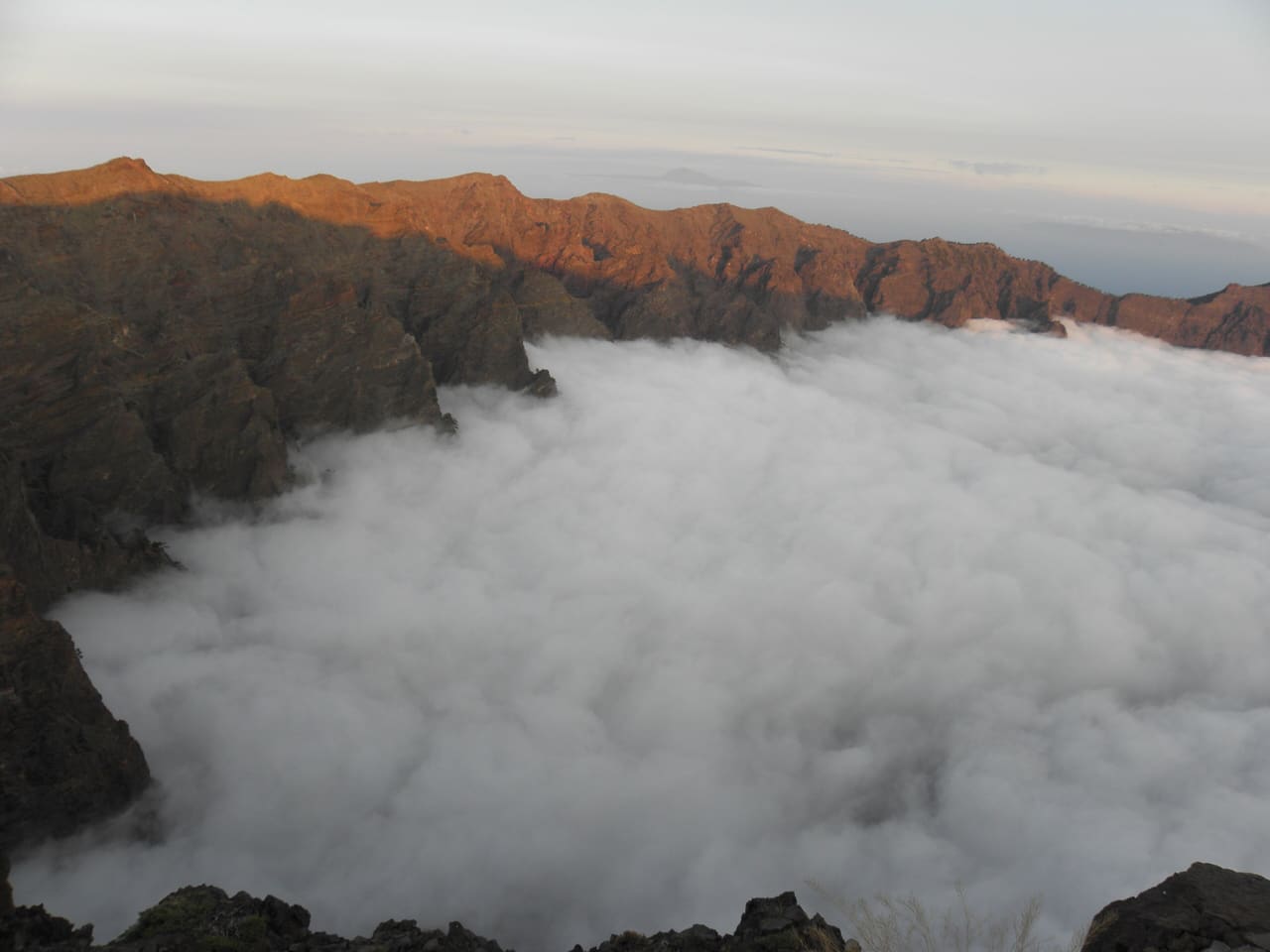
A huge volcanic caldera on La Palma in the Canary Islands. Deep ravines, pine forest, and rim trails above the cloud belt.
Caldera de Taburiente National Park is in Canary Islands, Spain. The nearest town is El Paso — roughly 7.6 km (4.7 mi) out, about 13 min of driving.
When to go
Best window: May, June, September, and early October. Shoulder season: April and late October.
Winter is cool and wet at low elevation and snowy in the mountains, with reduced hut and refuge service.
July and August combine peak heat with peak domestic holidays. Shoulder months are both cooler and quieter.
Full seasonal breakdown for Caldera de Taburiente National Park
Closest towns and cities
| Town | Distance | Estimated drive |
|---|---|---|
| El Paso | 7.6 km (4.7 mi) | 13 min |
| Los Llanos de Aridane | 8.2 km (5.1 mi) | 14 min |
| Tijarafe | 8.3 km (5.2 mi) | 14 min |
| Tazacorte | 10.6 km (6.6 mi) | 18 min |
| Santa Cruz de la Palma | 10.7 km (6.6 mi) | 18 min |
| Breña Alta | 11 km (6.8 mi) | 18 min |
| Garachico | 12.1 km (7.5 mi) | 20 min |
| Breña Baja | 12.2 km (7.6 mi) | 20 min |
Where Caldera de Taburiente National Park sits
Official Caldera de Taburiente National Park site — hours, closures, and fees.
Parks you could combine with it
- Garajonay National Park
Laurel cloud forest on La Gomera in the Canary Islands. Misty, mossy trees and UNESCO-listed subtropical woodland.
- Teide National Park
Volcanic summit and lava fields on Tenerife in the Canary Islands. Cable car, high-altitude trails, and Spain’s highest point.
- Timanfaya National Park
Recent lava and volcanic cones on Lanzarote in the Canary Islands. Moon-like landscape toured by bus on marked routes.
- Doñana National Park
Coastal marshes, dunes, and lagoons at the mouth of the Guadalquivir in Andalusia. Flamingos, Iberian lynx, and major bird migration stopovers.
Common questions
Where is Caldera de Taburiente National Park?
Caldera de Taburiente National Park sits in Canary Islands, Spain, and the closest town of any size is El Paso — about 13 min away.
When is the best time to visit Caldera de Taburiente National Park?
Generally May, June, September, and early October, with April and late October quieter on either side.