
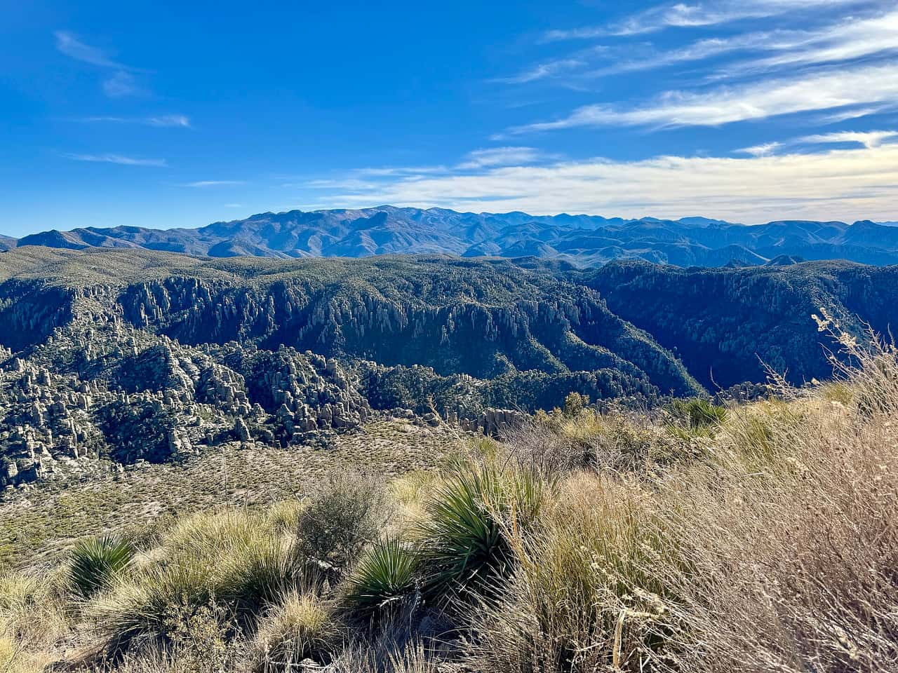
Chiricahua National Park: planning guide
National Park Service unit in Arizona (NPS code chir). Congress redesignated Chiricahua National Monument as Chiricahua National Park. PAD-US 4.1 records 12,203 acres at 32.012148°N, 109.341622°W.
Chiricahua National Park is in AZ, United States. The nearest town is Willcox — roughly 33.2 mi (53.4 km) out, about 1 hr 9 min of driving.
When to go
Best window: March through May, then October through November. Shoulder season: February and early December.
Summer highs regularly clear 100 °F / 38 °C. Winter is pleasant by day but nights drop below freezing at elevation.
Summer heat is the real hazard, not the crowds. Hike at dawn, skip exposed trails after mid-morning, and never rely on finding water.
Closest towns and cities
| Town | Distance | Estimated drive |
|---|---|---|
| Willcox | 33.2 mi (53.4 km) | 1 hr 9 min |
| Tombstone | 47.4 mi (76.2 km) | 1 hr 34 min |
| Douglas | 47.7 mi (76.7 km) | 1 hr 34 min |
| Saint David | 51.7 mi (83.2 km) | 1 hr 40 min |
| Bisbee | 52 mi (83.7 km) | 1 hr 41 min |
| Benson | 55.9 mi (90 km) | 1 hr 46 min |
| Safford | 60.7 mi (97.6 km) | 1 hr 53 min |
| Thatcher | 62.8 mi (101 km) | 1 hr 56 min |
Camping
| Name | Booking | Notes |
|---|---|---|
| Bonita Canyon Campground | Reservable | — |
Where Chiricahua National Park sits
Official Chiricahua National Park site — hours, closures, and fees.
Drive times from Chiricahua National Park
Chiricahua National Park sits close enough to Saguaro National Park, White Sands National Park, and Petrified Forest National Park that one drive from home can cover more than one park.
| Park | Apart | Estimated drive |
|---|---|---|
| Saguaro National Park | 110 mi (177 km) | 3 hr 3 min |
| White Sands National Park | 184 mi (295 km) | 4 hr 48 min |
| Petrified Forest National Park | 202 mi (325 km) | 5 hr 14 min |
Parks close by
- Saguaro National Park
Sonoran Desert outside Tucson with stands of tall saguaro cactus. Best in cooler months; summer heat is serious.
- White Sands National Park
White gypsum dunes in southern New Mexico. Bright, open, and easy to walk a short way into the dunes.
- Petrified Forest National Park
Painted desert and fossilized wood along I-40 in Arizona. Easy roadside stops and short walks.
- Guadalupe Mountains National Park
High desert peaks in west Texas, including the state high point. Dry trails, limestone cliffs, and little shade.
Common questions
Where is Chiricahua National Park?
Chiricahua National Park sits in AZ, United States. Willcox, about 33.2 mi (53.4 km) away — roughly 1 hr 9 min of driving.
When is the best time to visit Chiricahua National Park?
Generally March through May, then October through November, with February and early December quieter on either side.
Can you camp in Chiricahua National Park?
Yes — Recreation.gov lists 1 campground at Chiricahua National Park. Recreation.gov releases most national park campsites six months before the arrival date, at 10:00 a.m. Eastern time. Windows are set per campground, so confirm yours on the Seasons and Fees tab on that campground page.