
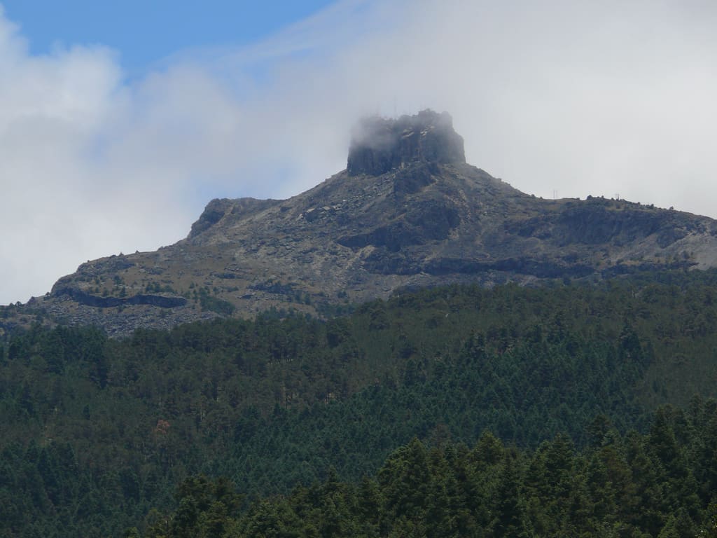
Cofre de Perote National Park: planning guide
A broad volcanic massif east of Xalapa in Veracruz. Cloud forest, cool slopes, and a major peak above the Gulf lowlands.
Cofre de Perote National Park is in Veracruz, Mexico. The nearest town is El Conejo — roughly 4.4 km (2.7 mi) out, about 7 min of driving.
When to go
Best window: December through April, the drier and less humid stretch. Shoulder season: May and November.
June to November is the wet and hurricane season — heavy rain, high humidity, and occasional storm closures.
Heat and humidity are constant. Plan activity for early morning and carry more water than feels necessary.
Closest towns and cities
| Town | Distance | Estimated drive |
|---|---|---|
| El Conejo | 4.4 km (2.7 mi) | 7 min |
| El Escobillo | 5.6 km (3.5 mi) | 9 min |
| La Toma | 6.3 km (3.9 mi) | 11 min |
| Tonalaco | 7.3 km (4.5 mi) | 12 min |
| Los Altos | 7.5 km (4.7 mi) | 12 min |
| Los Pescados | 7.6 km (4.7 mi) | 13 min |
| El Triunfo | 10.7 km (6.7 mi) | 18 min |
| Tlalconteno | 11.2 km (7 mi) | 19 min |
Where Cofre de Perote National Park sits
Official Cofre de Perote National Park site — hours, closures, and fees.
Parks you could combine with it
- Pico de Orizaba National Park
Mexico’s highest peak — a dormant volcano on the Veracruz–Puebla line. Glacier, high-altitude climbing, and alpine meadows.
- Cañón del Río Blanco National Park
A deep limestone canyon on the Veracruz–Puebla border with tropical forest and waterfalls. River gorge country east of the central highlands.
- La Malinche National Park
A volcanic peak on the Tlaxcala–Puebla border. Popular day hike through pine forest to alpine views of Popocatépetl.
- Xicoténcatl National Park
Pine–oak forest on a Tlaxcala highland ridge. Cool mountain trails in Mexico’s smallest state.
Common questions
Where is Cofre de Perote National Park?
Cofre de Perote National Park sits in Veracruz, Mexico, and the closest town of any size is El Conejo — about 7 min away.
When is the best time to visit Cofre de Perote National Park?
Generally December through April, the drier and less humid stretch, with May and November quieter on either side.