
Cumbres de Majalca National Park: planning guide
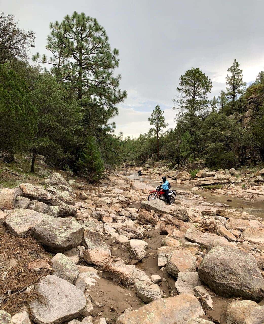
Pine forest and rock towers in the Sierra de Majalca above Chihuahua city. Cool mountain country in the northern Sierra Madre.
Cumbres de Majalca National Park is in Chihuahua, Mexico. The nearest town is El Sauz — roughly 35.5 km (22 mi) out, about 50 min of driving.
When to go
Best window: March through May, then October through November. Shoulder season: February and early December.
Summer highs regularly clear 100 °F / 38 °C. Winter is pleasant by day but nights drop below freezing at elevation.
Summer heat is the real hazard, not the crowds. Hike at dawn, skip exposed trails after mid-morning, and never rely on finding water.
Full seasonal breakdown for Cumbres de Majalca National Park
Closest towns and cities
| Town | Distance | Estimated drive |
|---|---|---|
| El Sauz | 35.5 km (22 mi) | 50 min |
| Chihuahua | 43 km (26.7 mi) | 58 min |
| La Quemada | 52.4 km (32.6 mi) | 1 hr 8 min |
| Santa Isabel | 52.5 km (32.7 mi) | 1 hr 8 min |
| Juan Aldama | 55.9 km (34.7 mi) | 1 hr 12 min |
| Cuauhtémoc | 57.8 km (35.9 mi) | 1 hr 14 min |
| Benito Juárez | 60.8 km (37.8 mi) | 1 hr 17 min |
| San Nicolás de Carretas | 61.7 km (38.4 mi) | 1 hr 18 min |
Where Cumbres de Majalca National Park sits
Official Cumbres de Majalca National Park site — hours, closures, and fees.
Drive times from Cumbres de Majalca National Park
Cumbres de Majalca National Park sits close enough to Basaseachic Falls National Park and Big Bend National Park that one drive from home can cover more than one park.
| Park | Apart | Estimated drive |
|---|---|---|
| Basaseachic Falls National Park | 188 km (117 mi) | 3 hr 13 min |
| Big Bend National Park | 318 km (198 mi) | 5 hr 8 min |
Parks close by
- Basaseachic Falls National Park
Basaseachic Falls and pine–oak canyon country in the western Sierra Madre of Chihuahua. One of Mexico’s tallest waterfalls in a high desert setting.
- Big Bend National Park
Big desert and mountain country along the Rio Grande in west Texas. Remote, dry, and spread out — expect long drives.
- Guadalupe Mountains National Park
High desert peaks in west Texas, including the state high point. Dry trails, limestone cliffs, and little shade.
- Carlsbad Caverns National Park
A large limestone cave system in New Mexico. The big room is the main draw; bats fly out on warm evenings.
Common questions
Where is Cumbres de Majalca National Park?
Cumbres de Majalca National Park sits in Chihuahua, Mexico. El Sauz, about 35.5 km (22 mi) away — roughly 50 min of driving.
When is the best time to visit Cumbres de Majalca National Park?
Generally March through May, then October through November, with February and early December quieter on either side.