
Cumbres del Ajusco National Park: planning guide
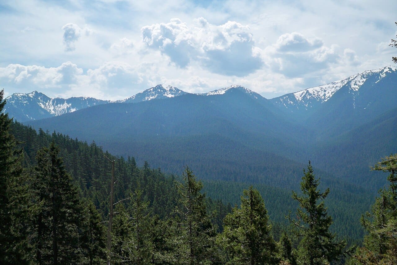
Pine–oak highlands on the south edge of Mexico City. Popular weekend hiking and cold nights above the capital.
Cumbres del Ajusco National Park is in Ciudad de México, Mexico. The nearest town is Lomas de Tepemecatl — roughly 3.2 km (2 mi) out, about 5 min of driving.
When to go
Best window: December through April, the drier and less humid stretch. Shoulder season: May and November.
June to November is the wet and hurricane season — heavy rain, high humidity, and occasional storm closures.
Heat and humidity are constant. Plan activity for early morning and carry more water than feels necessary.
Full seasonal breakdown for Cumbres del Ajusco National Park
Closest towns and cities
| Town | Distance | Estimated drive |
|---|---|---|
| Lomas de Tepemecatl | 3.2 km (2 mi) | 5 min |
| San Miguel Ajusco | 5.7 km (3.6 mi) | 10 min |
| San Miguel Topilejo | 12.1 km (7.5 mi) | 20 min |
| Tlalpan | 13.3 km (8.3 mi) | 22 min |
| Magdalena Contreras | 13.9 km (8.6 mi) | 23 min |
| Xochimilco | 16.6 km (10.3 mi) | 28 min |
| Delegación Cuajimalpa de Morelos | 17.5 km (10.9 mi) | 29 min |
| San Salvador Cuauhtenco | 17.7 km (11 mi) | 29 min |
Where Cumbres del Ajusco National Park sits
Official Cumbres del Ajusco National Park site — hours, closures, and fees.
Parks you could combine with it
- Fuentes Brotantes de Tlalpan National Park
Springs and oak woodland in southern Mexico City’s Tlalpan district. Urban nature reserve with seasonal flowing water.
- Lomas de Padierna National Park
Oak woodland on the southern edge of Mexico City. Urban-adjacent trails above the Tlalpan and Pedregal neighborhoods.
- Desierto de los Leones National Park
An ex-convent and conifer forest in the mountains west of Mexico City. One of the capital’s oldest protected woodland areas.
- Insurgente Miguel Hidalgo y Costilla National Park
Woodland and meadows in La Marquesa, west of Mexico City on the Toluca highway. Busy weekend hiking and picnic country.
Common questions
Where is Cumbres del Ajusco National Park?
Cumbres del Ajusco National Park sits in Ciudad de México, Mexico, and the closest town of any size is Lomas de Tepemecatl — about 5 min away.
When is the best time to visit Cumbres del Ajusco National Park?
Generally December through April, the drier and less humid stretch, with May and November quieter on either side.