
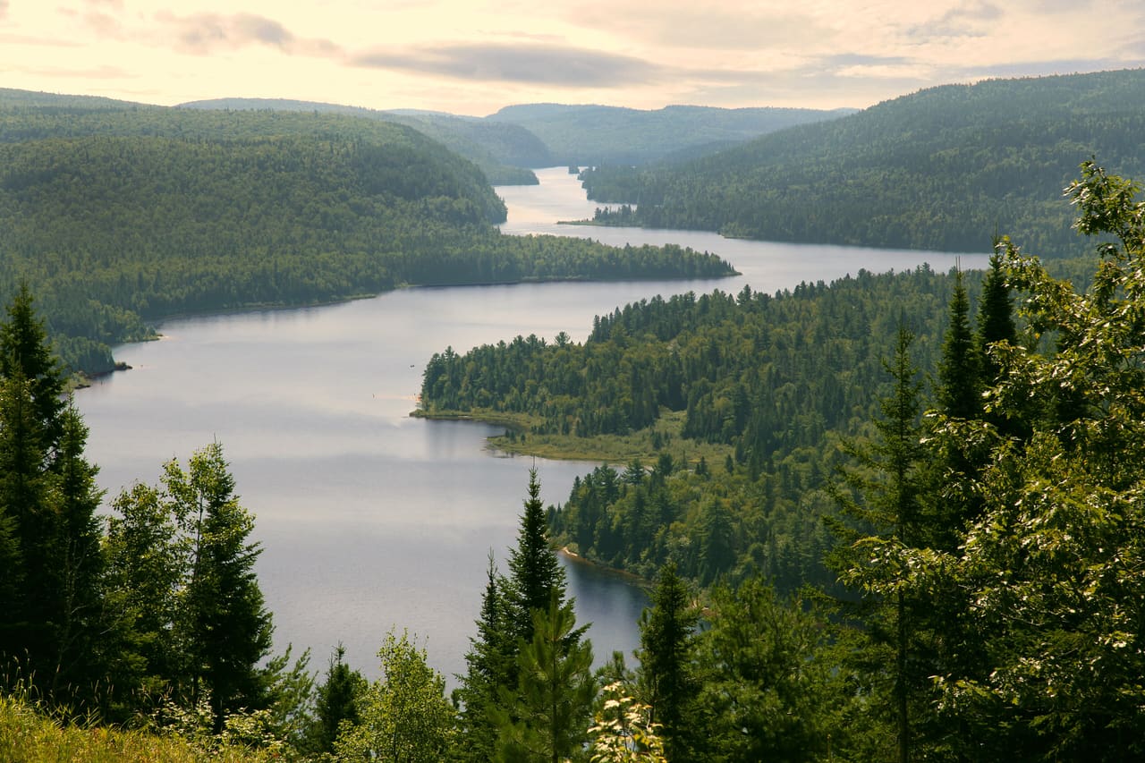
La Mauricie National Park: planning guide
Laurentian lakes and hills north of Shawinigan. Canoe routes, forests, and wood turtle habitat.
La Mauricie National Park is in QC, Canada. The nearest town is Hérouxville — roughly 30.2 km (18.8 mi) out, about 44 min of driving.
When to go
Best window: May through October. Shoulder season: April and early November.
Winter brings cold, shorter days, and reduced services, though lower-elevation trails often stay walkable.
Peak summer weekends and autumn colour weekends fill parking lots early — arrive before mid-morning.
Closest towns and cities
| Town | Distance | Estimated drive |
|---|---|---|
| Hérouxville | 30.2 km (18.8 mi) | 44 min |
| Shawinigan | 30.9 km (19.2 mi) | 45 min |
| Saint-Tite | 31.7 km (19.7 mi) | 46 min |
| Saint-Élie-de-Caxton | 35.2 km (21.9 mi) | 50 min |
| Sainte-Thècle | 35.9 km (22.3 mi) | 50 min |
| Saint-Narcisse | 46.3 km (28.8 mi) | 1 hr 1 min |
| Saint-Ubalde | 53.9 km (33.5 mi) | 1 hr 10 min |
| Mandeville | 56.2 km (34.9 mi) | 1 hr 12 min |
Where La Mauricie National Park sits
Official La Mauricie National Park site — hours, closures, and fees.
Parks you could combine with it
- Thousand Islands National Park
Scattered St. Lawrence islands and mainland parcels east of Kingston. Oldest park east of the Prairies.
- Acadia National Park
Rocky Atlantic coast and forested hills on Mount Desert Island. Granite shoreline, carriage roads, and a few busy overlooks.
- Georgian Bay Islands National Park
Small islands in Georgian Bay, with Beausoleil as the main hub. Boat access, Precambrian rock, and forest.
- Rouge National Park
Canada’s national urban park along Toronto’s Rouge River — wetlands, farmland remnants, and city access.
Common questions
Where is La Mauricie National Park?
La Mauricie National Park sits in QC, Canada, and the closest town of any size is Hérouxville — about 44 min away.
When is the best time to visit La Mauricie National Park?
Generally May through October, with April and early November quieter on either side.