
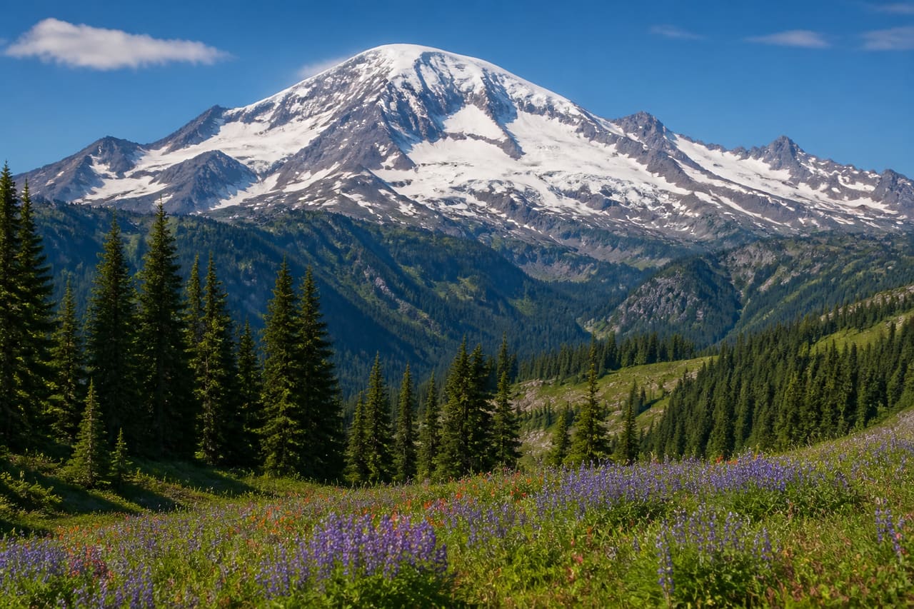
Mount Rainier National Park: planning guide
A big, glaciated volcano in Washington with meadows and old forest. Weather flips fast; roads and trails depend on snow.
Mount Rainier National Park is in WA, United States. The nearest town is Morton — roughly 31.6 mi (50.9 km) out, about 1 hr 6 min of driving.
When to go
Best window: July through mid-September, once the high country is clear of snow. Shoulder season: late June and late September.
High passes and trails hold snow from October into June, and some roads close entirely for the winter.
Afternoon thunderstorms build fast above treeline in summer. Start early and be off exposed ridges by early afternoon.
Closest towns and cities
| Town | Distance | Estimated drive |
|---|---|---|
| Morton | 31.6 mi (50.9 km) | 1 hr 6 min |
| Auburn | 38.5 mi (62 km) | 1 hr 18 min |
| Federal Way | 41.7 mi (67.1 km) | 1 hr 24 min |
| Tacoma | 42.6 mi (68.5 km) | 1 hr 25 min |
| Kent | 42.9 mi (69.1 km) | 1 hr 26 min |
| Cle Elum | 45.4 mi (73.1 km) | 1 hr 30 min |
| Lacey | 51.7 mi (83.3 km) | 1 hr 41 min |
| Tumwater | 55.3 mi (89 km) | 1 hr 46 min |
Before you go
Mount Rainier National Park does not gate the entrance itself. Specific roads, hikes, or tours still need a permit or timed ticket.
| Booking | Covers | How |
|---|---|---|
| Mount Rainier National Park Wilderness and Climbing Permits | One hike or backcountry trip | Permit or lottery |
Camping
| Name | Booking | Notes |
|---|---|---|
| Cougar Rock | Reservable | — |
| Cougar Rock Group | Reservable | — |
| Ohanapecosh | Reservable | — |
| Ohanapecosh Group | Reservable | — |
| White River | Reservable | — |
Permits
| Name | Booking | Notes |
|---|---|---|
| Mount Rainier National Park Wilderness and Climbing Permits | Permit / lottery | — |
Where Mount Rainier National Park sits
Official Mount Rainier National Park site — hours, closures, and fees.
Drive times from Mount Rainier National Park
Mount Rainier National Park sits close enough to Olympic National Park, North Cascades National Park, and Gulf Islands National Park that one drive from home can cover more than one park.
| Park | Apart | Estimated drive |
|---|---|---|
| Olympic National Park | 112 mi (180 km) | 3 hr 6 min |
| North Cascades National Park | 131 mi (211 km) | 3 hr 33 min |
| Gulf Islands National Park | 159 mi (256 km) | 4 hr 13 min |
Long trails through this park
Pacific Crest Trail crosses Mount Rainier National Park. The published corridor is CA–WA.
- Pacific Crest Trail — official trail site.
Parks close by
- Olympic National Park
Three parks in one on Washington’s peninsula: rainforest, mountains, and Pacific beach. Wet weather is normal.
- North Cascades National Park
Rugged, glaciated peaks in northern Washington. Steep terrain, few services, and lots of trail time.
- Gulf Islands National Park
Scattered Gulf Islands in the Salish Sea — rocky shores, Garry oak meadows, and quiet boat-access camps.
- Pacific Rim National Park
A Parks Canada reserve on Vancouver Island’s west coast — Long Beach, the Broken Group Islands, and the West Coast Trail. Surf, rainforest, and Pacific weather.
Common questions
Where is Mount Rainier National Park?
Mount Rainier National Park sits in WA, United States. Morton, about 31.6 mi (50.9 km) away — roughly 1 hr 6 min of driving.
When is the best time to visit Mount Rainier National Park?
Generally July through mid-September, once the high country is clear of snow, with late June and late September quieter on either side.
Can you camp in Mount Rainier National Park?
Yes — Recreation.gov lists 5 campgrounds at Mount Rainier National Park. Recreation.gov releases most national park campsites six months before the arrival date, at 10:00 a.m. Eastern time. Windows are set per campground, so confirm yours on the Seasons and Fees tab on that campground page.