
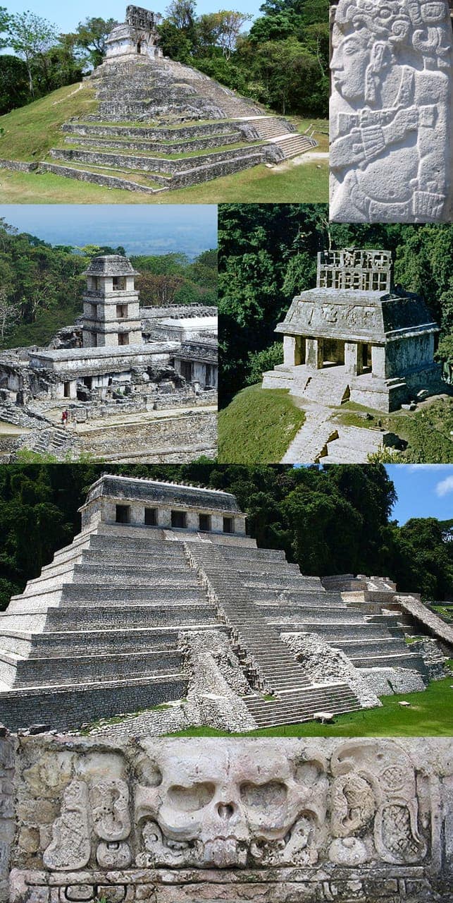
Palenque National Park: planning guide
Classic Maya ruins in the lowland rainforest of Chiapas. Temples, jungle trails, and waterfalls near the Usumacinta basin.
Palenque National Park is in Chiapas, Mexico. The nearest town is Palenque — roughly 7.4 km (4.6 mi) out, about 12 min of driving.
When to go
Best window: December through April, the drier and less humid stretch. Shoulder season: May and November.
June to November is the wet and hurricane season — heavy rain, high humidity, and occasional storm closures.
Heat and humidity are constant. Plan activity for early morning and carry more water than feels necessary.
Closest towns and cities
| Town | Distance | Estimated drive |
|---|---|---|
| Palenque | 7.4 km (4.6 mi) | 12 min |
| Ignacio Zaragoza | 8.3 km (5.2 mi) | 14 min |
| Belisario Domínguez | 10.9 km (6.8 mi) | 18 min |
| Arroyo Palenque | 12 km (7.5 mi) | 20 min |
| Jerusalén | 13 km (8.1 mi) | 22 min |
| Doctor Samuel León Brindis | 13.3 km (8.3 mi) | 22 min |
| San Miguel | 14.1 km (8.7 mi) | 23 min |
| Estrella de Belén | 14.2 km (8.9 mi) | 24 min |
Where Palenque National Park sits
Official Palenque National Park site — hours, closures, and fees.
Parks you could combine with it
- Cañón del Sumidero National Park
A sheer-walled canyon cut by the Grijalva River above Chiapa de Corzo. Boat trips and rim overlooks are the usual way to see the cliffs.
- Lagunas de Montebello National Park
Dozens of colored lakes on the Chiapas–Guatemala border. Cloud forest, short trails, and lake overlooks in the southern highlands.
- Sistema Arrecifal Veracruzano National Park
Coral reefs in the Gulf of Mexico off Veracruz and Antón Lizardo. Snorkel and research sites near the port city.
- Arrecifes de Xcalak National Park
Southern Quintana Roo reef and lagoon country near the Belize border. Quiet compared to Cancún; fishing villages and shallow flats.
Common questions
Where is Palenque National Park?
Palenque National Park sits in Chiapas, Mexico, and the closest town of any size is Palenque — about 12 min away.
When is the best time to visit Palenque National Park?
Generally December through April, the drier and less humid stretch, with May and November quieter on either side.