
Sequoia National Park: planning guide
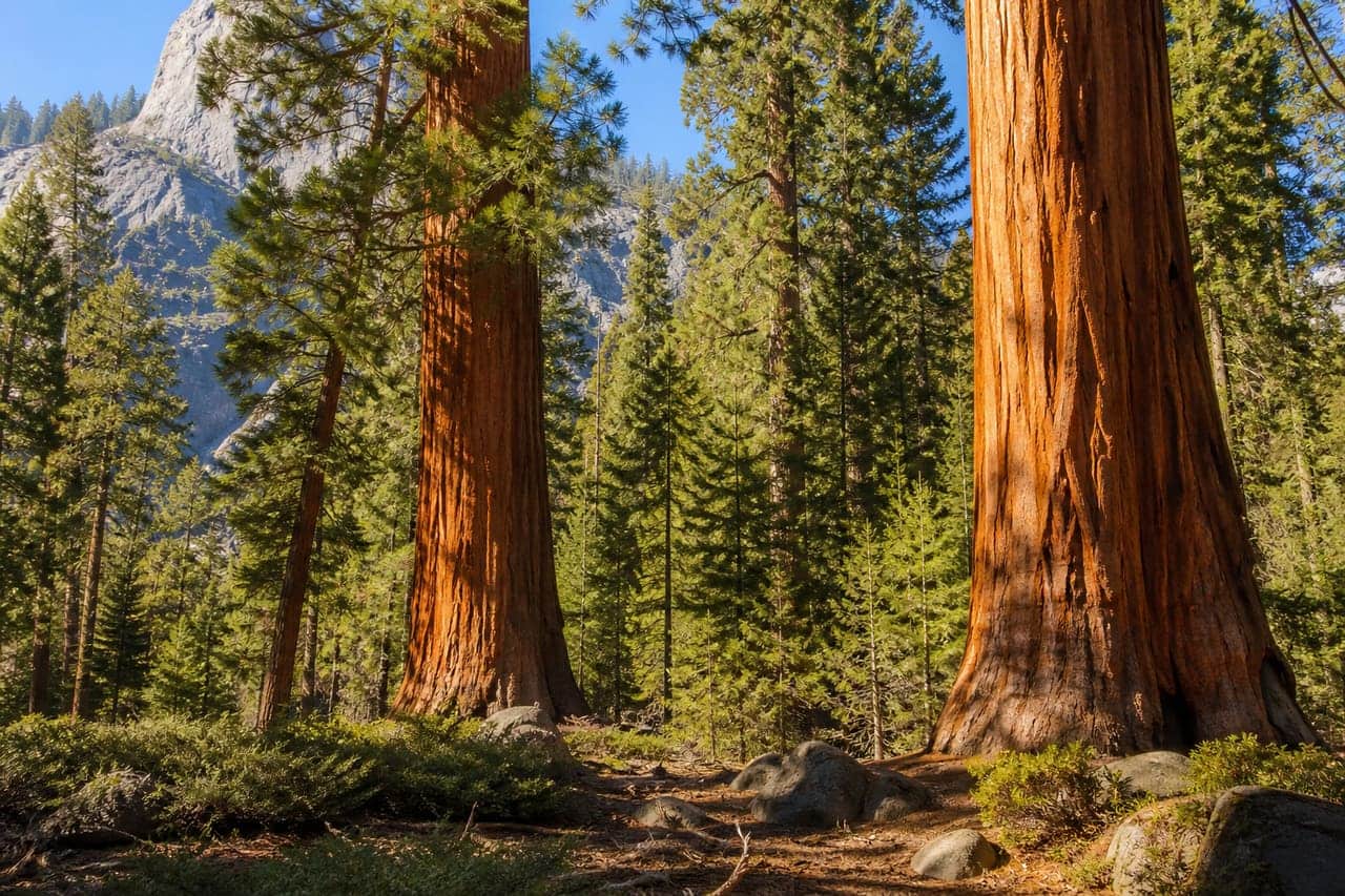
Giant sequoia groves on the western Sierra slope in California. Big trees, granite, and shared access with Kings Canyon.
Sequoia National Park is in CA, United States. The nearest town is Lone Pine — roughly 30.6 mi (49.3 km) out, about 1 hr 5 min of driving.
When to go
Best window: July through mid-September, once the high country is clear of snow. Shoulder season: late June and late September.
High passes and trails hold snow from October into June, and some roads close entirely for the winter.
Afternoon thunderstorms build fast above treeline in summer. Start early and be off exposed ridges by early afternoon.
Closest towns and cities
| Town | Distance | Estimated drive |
|---|---|---|
| Lone Pine | 30.6 mi (49.3 km) | 1 hr 5 min |
| Porterville | 38 mi (61.1 km) | 1 hr 17 min |
| Visalia | 40.2 mi (64.7 km) | 1 hr 21 min |
| Orange Cove | 40.5 mi (65.2 km) | 1 hr 22 min |
| Dinuba | 43.8 mi (70.5 km) | 1 hr 27 min |
| Tulare | 46.2 mi (74.4 km) | 1 hr 32 min |
| Reedley | 47.7 mi (76.7 km) | 1 hr 34 min |
| Big Pine | 49 mi (78.9 km) | 1 hr 36 min |
Before you go
Sequoia National Park does not gate the entrance itself. Specific roads, hikes, or tours still need a permit or timed ticket.
| Booking | Covers | How |
|---|---|---|
| Sequoia and Kings Canyon National Parks Wilderness Permits | One hike or backcountry trip | Permit or lottery |
| Crystal Cave Tours Sequoia National Park | Guided tour | Timed ticket |
Camping
| Name | Booking | Notes |
|---|---|---|
| Atwell Mill | Reservable | — |
| Buckeye Flat | Reservable | — |
| Cold Springs | Reservable | — |
| Dorst Creek | Reservable | — |
| Lodgepole | Reservable | — |
| Potwisha | Reservable | — |
| Wolverton Stock Campsites | Reservable | — |
Permits
| Name | Booking | Notes |
|---|---|---|
| Sequoia and Kings Canyon National Parks Wilderness Permits | Permit / lottery | — |
Where Sequoia National Park sits
Official Sequoia National Park site — hours, closures, and fees.
Drive times from Sequoia National Park
Sequoia National Park sits close enough to Kings Canyon National Park, Death Valley National Park, Yosemite National Park, and Pinnacles National Park that one drive from home can cover more than one park.
| Park | Apart | Estimated drive |
|---|---|---|
| Kings Canyon National Park | 21.1 mi (33.9 km) | 48 min |
| Death Valley National Park | 101 mi (162 km) | 2 hr 50 min |
| Yosemite National Park | 108 mi (174 km) | 3 hr |
| Pinnacles National Park | 142 mi (229 km) | 3 hr 49 min |
Long trails through this park
Pacific Crest Trail crosses Sequoia National Park. The published corridor is CA–WA.
- Pacific Crest Trail — official trail site.
Parks close by
- Kings Canyon National Park
Deep granite canyon and giant sequoia groves in California’s Sierra. Shares a boundary with Sequoia National Park.
- Death Valley National Park
Hot, dry basin and range in California. Salt flats, sand dunes, and colorful badlands; summers are extreme.
- Yosemite National Park
A granite valley and high Sierra country in California. Waterfalls in spring; valley floors get crowded in summer.
- Pinnacles National Park
Volcanic rock spires and talus caves east of the Salinas Valley in California. Condors sometimes soar overhead.
Common questions
Where is Sequoia National Park?
Sequoia National Park sits in CA, United States. Lone Pine, about 30.6 mi (49.3 km) away — roughly 1 hr 5 min of driving.
When is the best time to visit Sequoia National Park?
Generally July through mid-September, once the high country is clear of snow, with late June and late September quieter on either side.
Can you camp in Sequoia National Park?
Yes — Recreation.gov lists 7 campgrounds at Sequoia National Park. Recreation.gov releases most national park campsites six months before the arrival date, at 10:00 a.m. Eastern time. Windows are set per campground, so confirm yours on the Seasons and Fees tab on that campground page.