
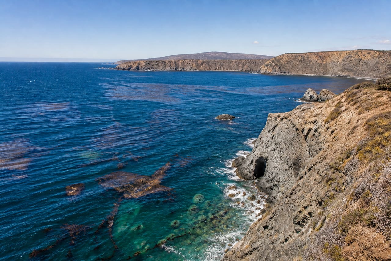
Channel Islands National Park: planning guide
A chain of islands off southern California. Reach them by boat; expect wind, wildlife, and limited services.
Channel Islands National Park is in CA, United States. Reached by concession boat or small plane from Ventura or Oxnard. Oxnard is the closest mapped town — about 19 mi (30.6 km) away, not a drive.
When to go
Best window: May, June, September, and early October. Shoulder season: April and late October.
Winter is cool and wet at low elevation and snowy in the mountains, with reduced hut and refuge service.
July and August combine peak heat with peak domestic holidays. Shoulder months are both cooler and quieter.
Closest towns and cities
| Town | Distance | Access |
|---|---|---|
| Oxnard | 19 mi (30.6 km) | Not a drive |
| Ventura | 19.9 mi (32 km) | Not a drive |
| Santa Barbara | 32.5 mi (52.4 km) | Not a drive |
| Thousand Oaks | 35.1 mi (56.5 km) | Not a drive |
| Goleta | 37.5 mi (60.4 km) | Not a drive |
| Simi Valley | 40.7 mi (65.5 km) | Not a drive |
| Valencia | 55.1 mi (88.8 km) | Not a drive |
| Santa Ynez | 56.2 mi (90.5 km) | Not a drive |
Camping
| Name | Booking | Notes |
|---|---|---|
| Anacapa Island | Reservable | — |
| San Miguel Island | Reservable | — |
| Santa Barbara Island | Reservable | — |
| Santa Cruz Island Del Norte Backcountry | Reservable | — |
| Santa Cruz Island Scorpion | Reservable | — |
| Santa Rosa Island | Reservable | — |
| Santa Rosa Island Backcountry Beach Camping | Reservable | — |
| Santa Cruz Island Prisoners Harbor | Reservable | — |
Where Channel Islands National Park sits
Official Channel Islands National Park site — hours, closures, and fees.
Drive times from Channel Islands National Park
Channel Islands National Park sits close enough to Sequoia National Park, Pinnacles National Park, Kings Canyon National Park, and Joshua Tree National Park that one drive from home can cover more than one park.
| Park | Apart | Estimated drive |
|---|---|---|
| Sequoia National Park | 178 mi (287 km) | 4 hr 40 min |
| Pinnacles National Park | 197 mi (317 km) | 5 hr 7 min |
| Kings Canyon National Park | 197 mi (318 km) | 5 hr 7 min |
| Joshua Tree National Park | 202 mi (326 km) | 5 hr 14 min |
Parks close by
- Sequoia National Park
Giant sequoia groves on the western Sierra slope in California. Big trees, granite, and shared access with Kings Canyon.
- Pinnacles National Park
Volcanic rock spires and talus caves east of the Salinas Valley in California. Condors sometimes soar overhead.
- Kings Canyon National Park
Deep granite canyon and giant sequoia groves in California’s Sierra. Shares a boundary with Sequoia National Park.
- Joshua Tree National Park
Mojave and Colorado desert meeting in southern California. Twisted Joshua trees, boulder piles, and clear night skies.
Common questions
Where is Channel Islands National Park?
Channel Islands National Park sits in CA, United States. Oxnard, about 19 mi (30.6 km) away on the map. Reached by concession boat or small plane from Ventura or Oxnard. That distance is not a drive.
When is the best time to visit Channel Islands National Park?
Generally May, June, September, and early October, with April and late October quieter on either side.
Can you camp in Channel Islands National Park?
Yes — Recreation.gov lists 8 campgrounds at Channel Islands National Park. Recreation.gov releases most national park campsites six months before the arrival date, at 10:00 a.m. Eastern time. Windows are set per campground, so confirm yours on the Seasons and Fees tab on that campground page.