
National parks near Los Algodones, Baja California
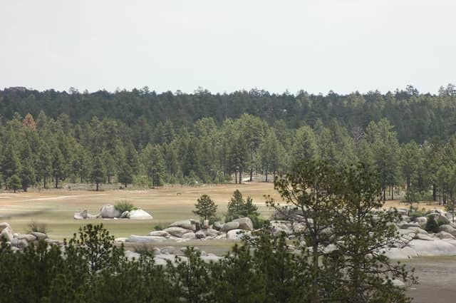
Constitución 1857 National Park is the closest national park to Los Algodones, Baja California — 148 km (91.9 mi) in a straight line, which works out to roughly 2 hr 38 min behind the wheel.
Constitución 1857 and Joshua Tree make a full day trip — leave early. Sierra de San Pedro Mártir and Saguaro are better with a night booked nearby.
Nothing near Los Algodones gates the entrance itself, but 5 of the parks in range put a road, hike, or backcountry trip behind a permit or timed ticket.
Los Algodones has a population of about 4,874.
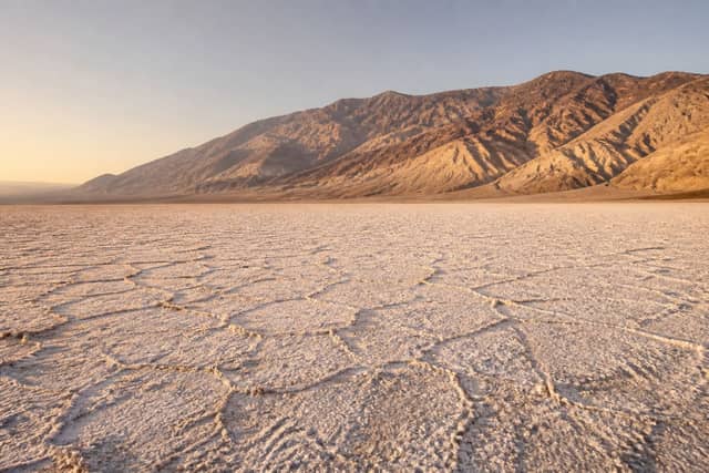
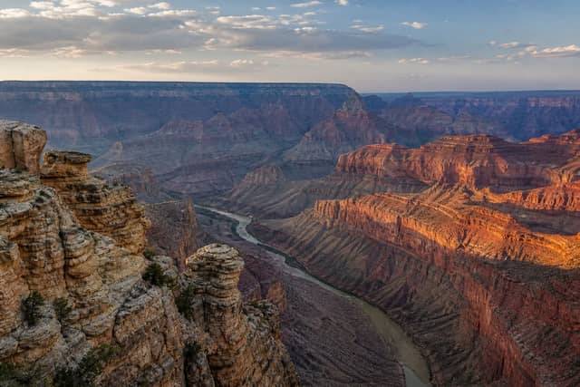
National parks near Los Algodones
| Park | Straight-line distance | Estimated drive | Realistic trip |
|---|---|---|---|
| Constitución 1857 National Park | 148 km (91.9 mi) | 2 hr 38 min | Doable as a day trip |
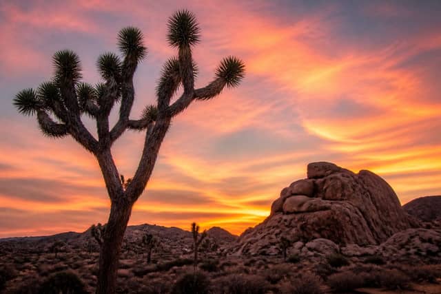
| Joshua Tree National Park | 163 km (101 mi) | 2 hr 51 min | Doable as a day trip |
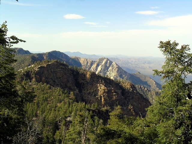
| Sierra de San Pedro Mártir National Park | 212 km (132 mi) | 3 hr 34 min | Best as a weekend |
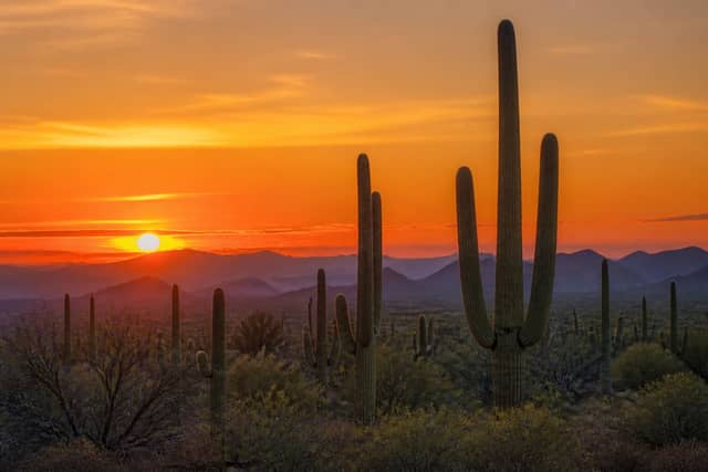
| Saguaro National Park | 335 km (208 mi) | 5 hr 23 min | Best as a weekend |
| Death Valley National Park | 438 km (272 mi) | 6 hr 53 min | Worth a longer road trip |
| Grand Canyon National Park | 442 km (275 mi) | 6 hr 57 min | Worth a longer road trip |
| Channel Islands National Park | 459 km (285 mi) | 7 hr 12 min | Worth a longer road trip |
| San Lorenzo Marine Archipelago National Park | 467 km (290 mi) | 7 hr 19 min | Worth a longer road trip |
| Petrified Forest National Park | 518 km (322 mi) | 8 hr 4 min | Worth a longer road trip |
| Zion National Park | 534 km (332 mi) | 8 hr 18 min | Worth a longer road trip |
What to book before you leave Los Algodones
| Park | What needs booking | Covers | How |
|---|---|---|---|
| Grand Canyon | Tuweep Area Day Use Tickets | One road or area | Timed reservation |
| Joshua Tree | Joshua Tree National Park Wilderness Backpacking Permits | One hike or backcountry trip | Permit or lottery |
| Death Valley | Death Valley National Park Wilderness Permits | One hike or backcountry trip | Permit or lottery |
| Petrified Forest | Wilderness backpacking permit | One hike or backcountry trip | Permit or lottery |
| Zion | Angels Landing: Fall (Hikes on September 1 – November 30) | One hike or backcountry trip | Permit or lottery |
Camping near Los Algodones
Within reach of Los Algodones, 25 campgrounds across 6 parks appear on Recreation.gov: 9 at Joshua Tree, 7 at Channel Islands, 3 at Grand Canyon, and 3 at Zion, plus 2 more parks with fewer sites.
Recreation.gov releases most national park campsites six months before the arrival date, at 10:00 a.m. Eastern time. Windows are set per campground, so confirm yours on the Seasons and Fees tab on that campground page.
Once a date is gone, cancellations are the real supply, and they get taken within minutes of appearing.
When to make this trip
Constitución 1857 National Park is generally best March through May, then October through November, with February and early December as the quieter shoulder either side.
Summer highs regularly clear 100 °F / 38 °C. Winter is pleasant by day but nights drop below freezing at elevation.
Summer heat is the real hazard, not the crowds. Hike at dawn, skip exposed trails after mid-morning, and never rely on finding water.
Seeing more than one
Several parks near Los Algodones are close enough to each other to combine on one trip, so the drive from home only has to happen once.
| Pair | Apart | Estimated drive |
|---|---|---|
| Constitución 1857 → Sierra de San Pedro Mártir | 135 km (83.7 mi) | 2 hr 26 min |
| Constitución 1857 → Joshua Tree | 198 km (123 mi) | 3 hr 22 min |
| Joshua Tree → Death Valley | 285 km (177 mi) | 4 hr 39 min |
| Joshua Tree → Sierra de San Pedro Mártir | 323 km (201 mi) | 5 hr 12 min |
Planning a trip from Los Algodones
Distances here are straight-line and the drive estimate adds a road factor on top, but mountain passes and seasonal closures can change it a lot — a route that looks like three hours in June can be shut entirely in February. Confirm road status with the park before you commit to a date.
Other towns in Mexicali
- Mexicali
- Ciudad Guadalupe Victoria
- San Felipe
- Doctor Alberto Oviedo Mota
- Ciudad Coahuila
- Colonia Venustiano Carranza
- Tecolotes
- Ejido Hermosillo
- Benito Juárez
- Ejido Lázaro Cárdenas
- Santa Isabel
- Puebla
- Progreso
- Ciudad Coahuila (Kilómetro Cincuenta y Siete)
- Delta
- Nuevo León
- Michoacán de Ocampo
- Viñas del Sol
- Ejido Sinaloa
- Poblado Lázaro Cárdenas (La Veintiocho)
- Ejido Quintana Roo
- Islas Agrarias Grupo A
- Ejido Jiquilpan
- Ejido Plan de Ayala
Common questions
What is the closest national park to Los Algodones?
Constitución 1857 National Park. It is about 148 km (91.9 mi) from Los Algodones, roughly 2 hr 38 min of driving.
Can I do a national park day trip from Los Algodones?
Yes — Constitución 1857 National Park and Joshua Tree National Park are within about a three-hour drive.
How many national parks are near Los Algodones?
10 parks are within reach of Los Algodones, 2 of them close enough for a day trip.
Do you need a reservation for the national parks near Los Algodones?
None of them gate the entrance itself. 5 put a specific road, hike, or backcountry trip behind a permit or timed ticket — Joshua Tree National Park Wilderness Backpacking Permits, Death Valley National Park Wilderness Permits, and Tuweep Area Day Use Tickets at Grand Canyon. These requirements are usually seasonal, so check the date you plan to arrive.
Where can you camp near Los Algodones?
Recreation.gov lists 25 campgrounds at the national parks within reach of Los Algodones. They are spread across 6 of those parks.
When is the best time to visit the parks near Los Algodones?
For Constitución 1857 National Park, the closest one, generally March through May, then October through November. Either side of that, February and early December stays quieter.