
National parks near Los Mancera, Guanajuato
Los Mancera sits inside the Celaya area and reaches the same parks. See national parks near Celaya for the full write-up.
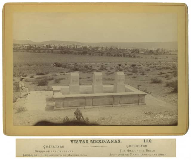
Cerro de las Campanas National Park is the closest national park to Los Mancera, Guanajuato — 43.2 km (26.8 mi) in a straight line, which works out to roughly 58 min behind the wheel.
Cerro de las Campanas, El Cimatario, Cerro de Garnica, Rayón, Bosencheve, Insurgente José María Morelos, Gogorrón, Tula, Lago de Camécuaro, and Los Mármoles make a full day trip — leave early.
Los Mancera has a population of about 1,291.
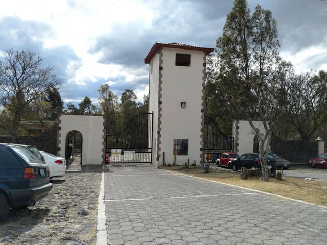
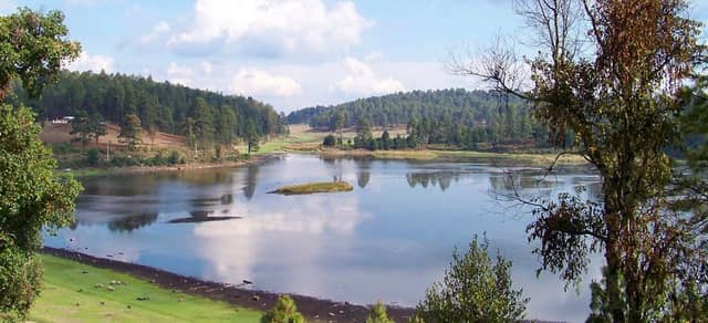
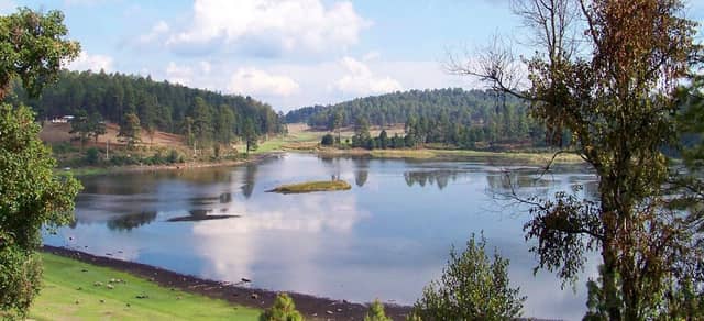
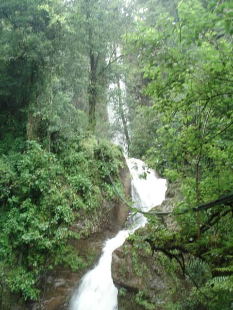
National parks near Los Mancera
| Park | Straight-line distance | Estimated drive | Realistic trip |
|---|---|---|---|
| Cerro de las Campanas National Park | 43.2 km (26.8 mi) | 58 min | Doable as a day trip |
| El Cimatario National Park | 46.7 km (29 mi) | 1 hr 2 min | Doable as a day trip |
| Cerro de Garnica National Park | 96.8 km (60.1 mi) | 1 hr 52 min | Doable as a day trip |
| Rayón National Park | 104 km (64.4 mi) | 1 hr 58 min | Doable as a day trip |
| Bosencheve National Park | 138 km (85.7 mi) | 2 hr 29 min | Doable as a day trip |
| Insurgente José María Morelos National Park | 138 km (85.8 mi) | 2 hr 29 min | Doable as a day trip |
| Gogorrón National Park | 142 km (88.5 mi) | 2 hr 33 min | Doable as a day trip |
| Tula National Park | 159 km (98.9 mi) | 2 hr 47 min | Doable as a day trip |
| Lago de Camécuaro National Park | 160 km (99.3 mi) | 2 hr 48 min | Doable as a day trip |
| Los Mármoles National Park | 167 km (104 mi) | 2 hr 54 min | Doable as a day trip |
When to make this trip
Cerro de las Campanas National Park is generally best December through April, the drier and less humid stretch, with May and November as the quieter shoulder either side.
June to November is the wet and hurricane season — heavy rain, high humidity, and occasional storm closures.
Heat and humidity are constant. Plan activity for early morning and carry more water than feels necessary.
Month-by-month detail for Cerro de las Campanas National Park
Seeing more than one
Several parks near Los Mancera are close enough to each other to combine on one trip, so the drive from home only has to happen once.
| Pair | Apart | Estimated drive |
|---|---|---|
| Cerro de las Campanas → El Cimatario | 8.8 km (5.5 mi) | 15 min |
| Cerro de Garnica → Rayón | 70.9 km (44.1 mi) | 1 hr 28 min |
| Cerro de Garnica → Bosencheve | 77.3 km (48 mi) | 1 hr 35 min |
| El Cimatario → Cerro de Garnica | 114 km (70.9 mi) | 2 hr 8 min |
Planning a trip from Los Mancera
Distances here are straight-line and the drive estimate adds a road factor on top, but mountain passes and seasonal closures can change it a lot — a route that looks like three hours in June can be shut entirely in February. Confirm road status with the park before you commit to a date.
Other towns in Celaya
- Celaya
- San Miguel Octopan
- Rincón de Tamayo
- San Juan de la Vega
- Tenería del Santuario
- Roque
- San Antonio Gallardo
- Primera Fracción de Crespo
- Santa María del Refugio
- Juan Martín
- La Aurora
- San José de Guanajuato
- San Elías
- La Laja
- San Isidro de la Concepción
- Plancarte
- Presa Blanca
- Gasca
- Santa Teresa
- La Cruz
- El Sauz (El Sauz de Villaseñor)
- Estrada
- Yustis
- Ojo Seco
Common questions
What is the closest national park to Los Mancera?
Cerro de las Campanas National Park. It is about 43.2 km (26.8 mi) from Los Mancera, roughly 58 min of driving.
Can I do a national park day trip from Los Mancera?
Yes — Cerro de las Campanas National Park, El Cimatario National Park, Cerro de Garnica National Park, Rayón National Park, Bosencheve National Park, Insurgente José María Morelos National Park, Gogorrón National Park, Tula National Park, Lago de Camécuaro National Park, and Los Mármoles National Park are within about a three-hour drive.
How many national parks are near Los Mancera?
10 parks are within reach of Los Mancera, 10 of them close enough for a day trip.
When is the best time to visit the parks near Los Mancera?
For Cerro de las Campanas National Park, the closest one, generally December through April, the drier and less humid stretch. Either side of that, May and November stays quieter.