
National parks near Agua Prieta Municipality, Sonora
Agua Prieta Municipality is one town for park planning. See national parks near Agua Prieta — it reaches the same parks.
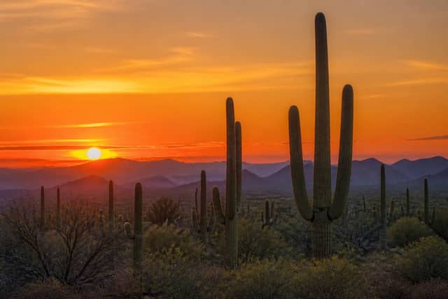
The closest national park to Agua Prieta Municipality, Sonora is Saguaro National Park — about 188 km (117 mi) away, or roughly 3 hr 13 min of driving.
Nothing here is a comfortable day trip — the nearest parks are better as an overnight or a weekend.
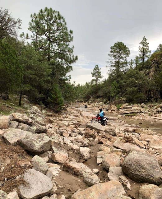
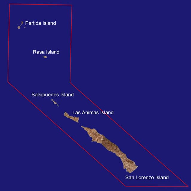
National parks near Agua Prieta Municipality
| Park | Straight-line distance | Estimated drive | Realistic trip |
|---|---|---|---|
| Saguaro National Park | 188 km (117 mi) | 3 hr 13 min | Best as a weekend |
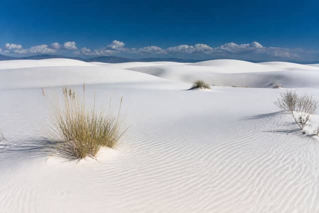
| White Sands National Park | 343 km (213 mi) | 5 hr 30 min | Best as a weekend |
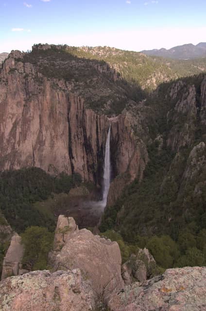
| Basaseachic Falls National Park | 376 km (234 mi) | 5 hr 59 min | Best as a weekend |
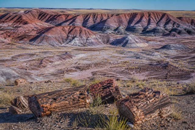
| Petrified Forest National Park | 400 km (248 mi) | 6 hr 20 min | Worth a longer road trip |
| Cumbres de Majalca National Park | 406 km (252 mi) | 6 hr 25 min | Worth a longer road trip |
| San Lorenzo Marine Archipelago National Park | 437 km (272 mi) | 6 hr 53 min | Worth a longer road trip |
| Guadalupe Mountains National Park | 447 km (278 mi) | 7 hr 2 min | Worth a longer road trip |
| Carlsbad Caverns National Park | 492 km (305 mi) | 7 hr 41 min | Worth a longer road trip |
| Sierra de San Pedro Mártir National Park | 569 km (354 mi) | 8 hr 49 min | Worth a longer road trip |
| Grand Canyon National Park | 578 km (359 mi) | 8 hr 57 min | Worth a longer road trip |
Towns and cities in Agua Prieta Municipality
Common questions
What is the closest national park to Agua Prieta Municipality?
Saguaro National Park, about 188 km (117 mi) away and roughly 3 hr 13 min of driving.
Which national parks can I visit from Agua Prieta Municipality in a day?
None comfortably. Plan at least one night away.